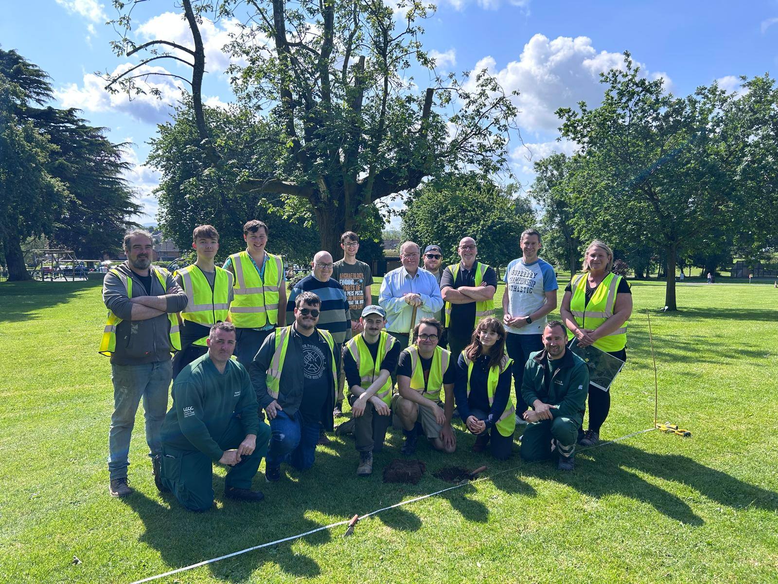
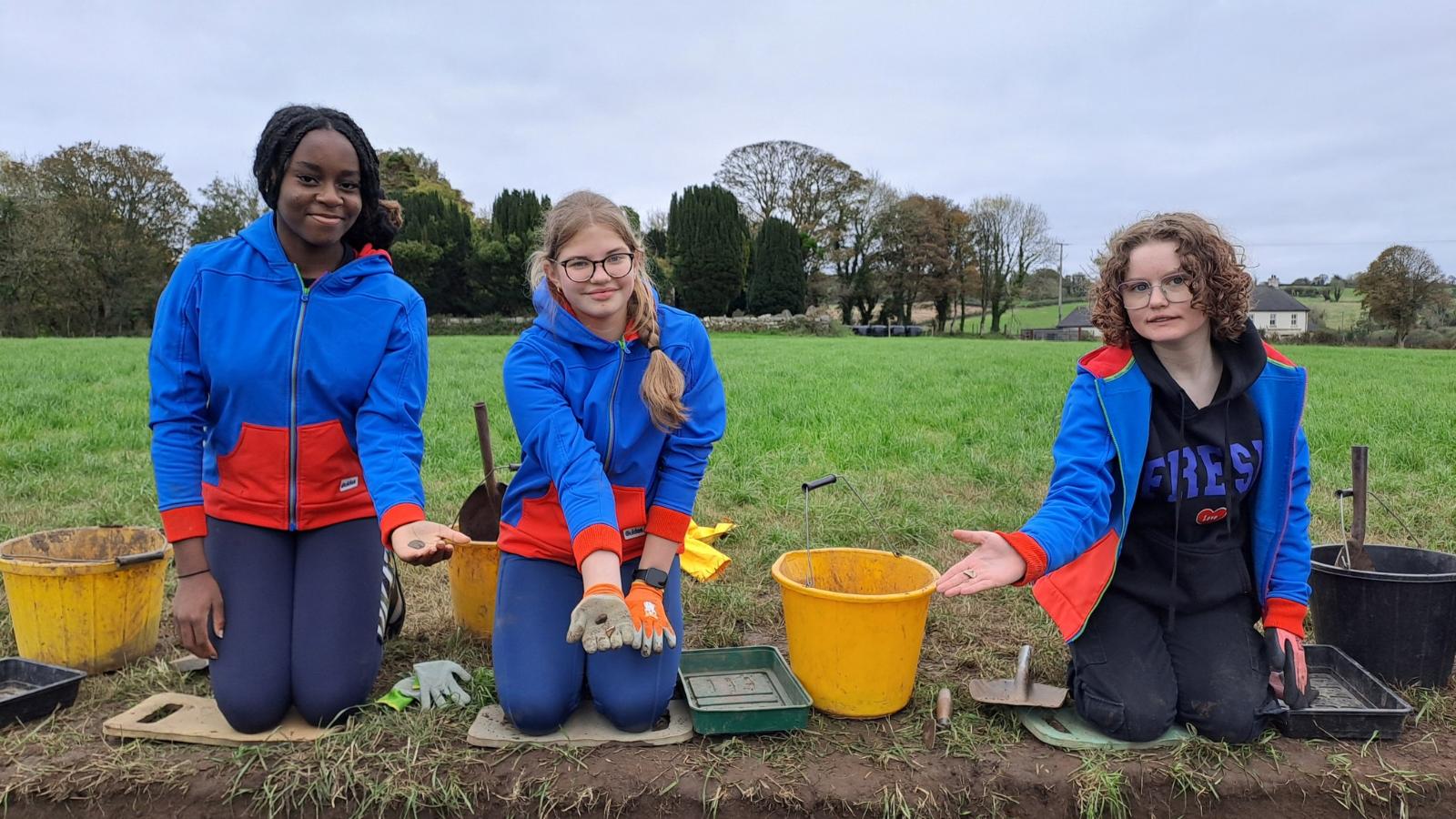
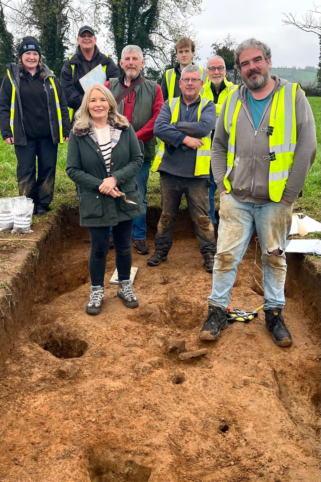
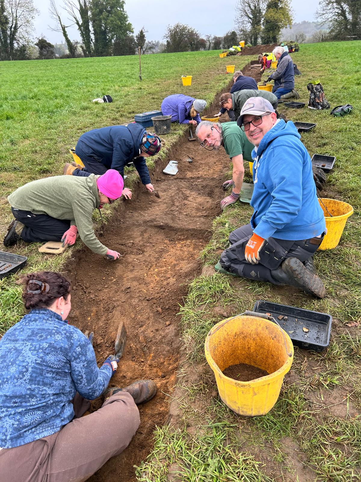
CAPNI Excavations
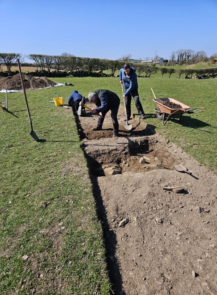
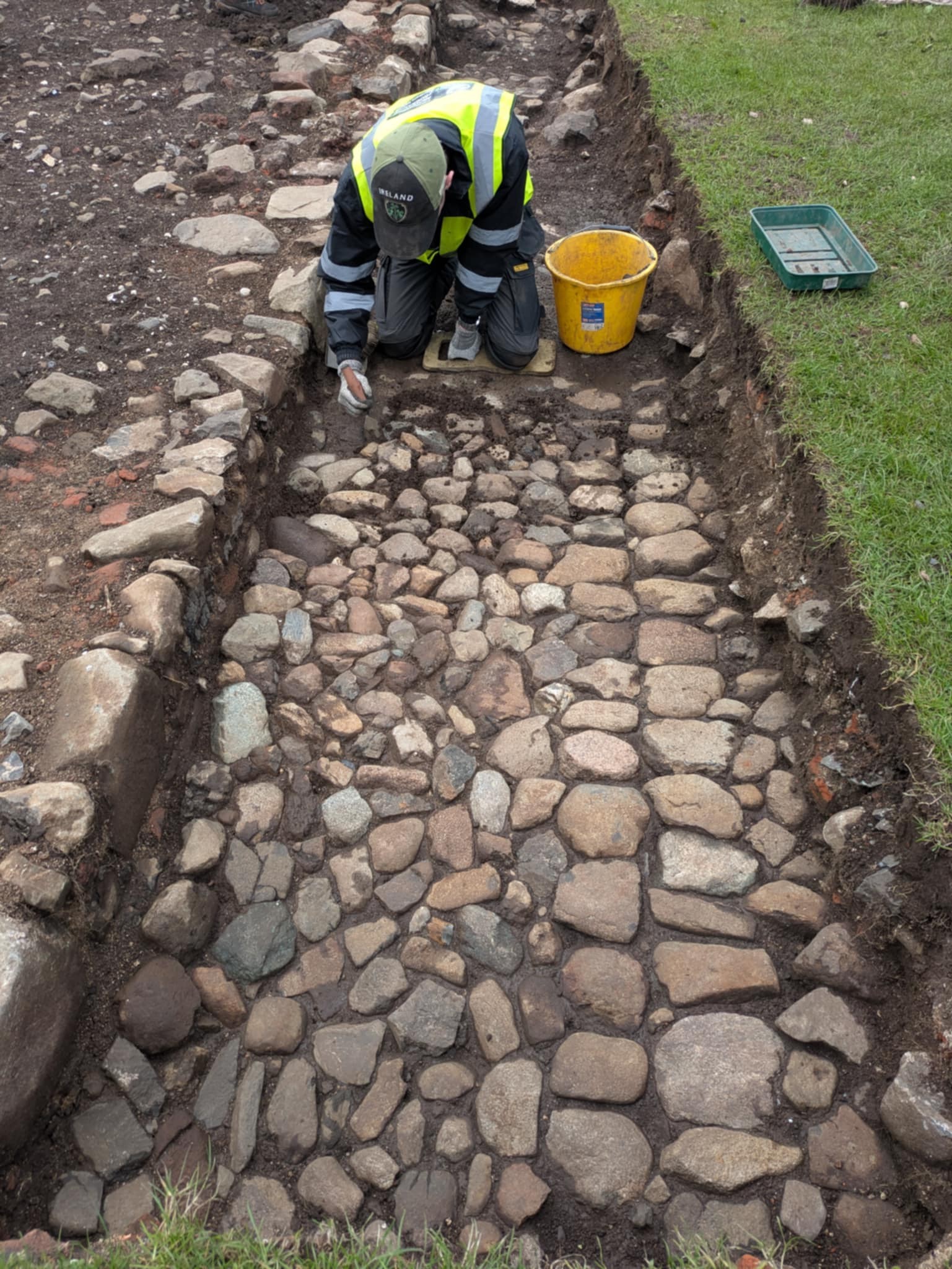
The excavation at Erenagh sought to uncover evidence for the now-lost medieval monastery. The Cistercian abbey was founded in 1127 by Niall Mac Dunlevi, king of Ulster; however, it was destroyed 1177 by John de Courcy (who later rebuilt Inch Abbey to make amends). Historical evidence suggests a church remained on the site for centuries, but today there are no standing remains visible. A geophysics survey showed evidence below the surface of what could be an extensive building complex. The excavations revealed a number of walls and metalled surfaces, suggesting buildings and occupation. A medieval date for the buildings is supported by the find of a Long Cross Penny of Edward I.
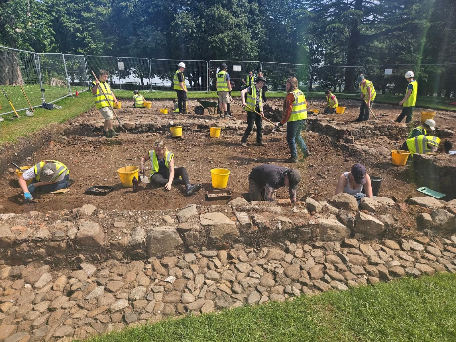
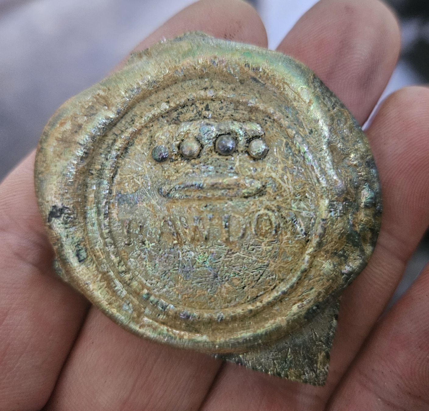
Today Moira Demesne is a public park, opposite the church. But in the mid-1600s, Major Edward Burgh constructed a 'fine brick house' on the site; this was later acquired by Sir George Rawdon and remained in his family for generations. The excavations sought to expand on work carried out by the CCA in 2018 and 2019, which uncovered remains of a building, a stable yard and Bronze Age features. The 2025 excavations uncovered a cobbled surface and a large building, possibly a glasshouse or other outbuilding. One of the many finds included a fragment of a wine bottle embossed with the crest of the Rawdon family.
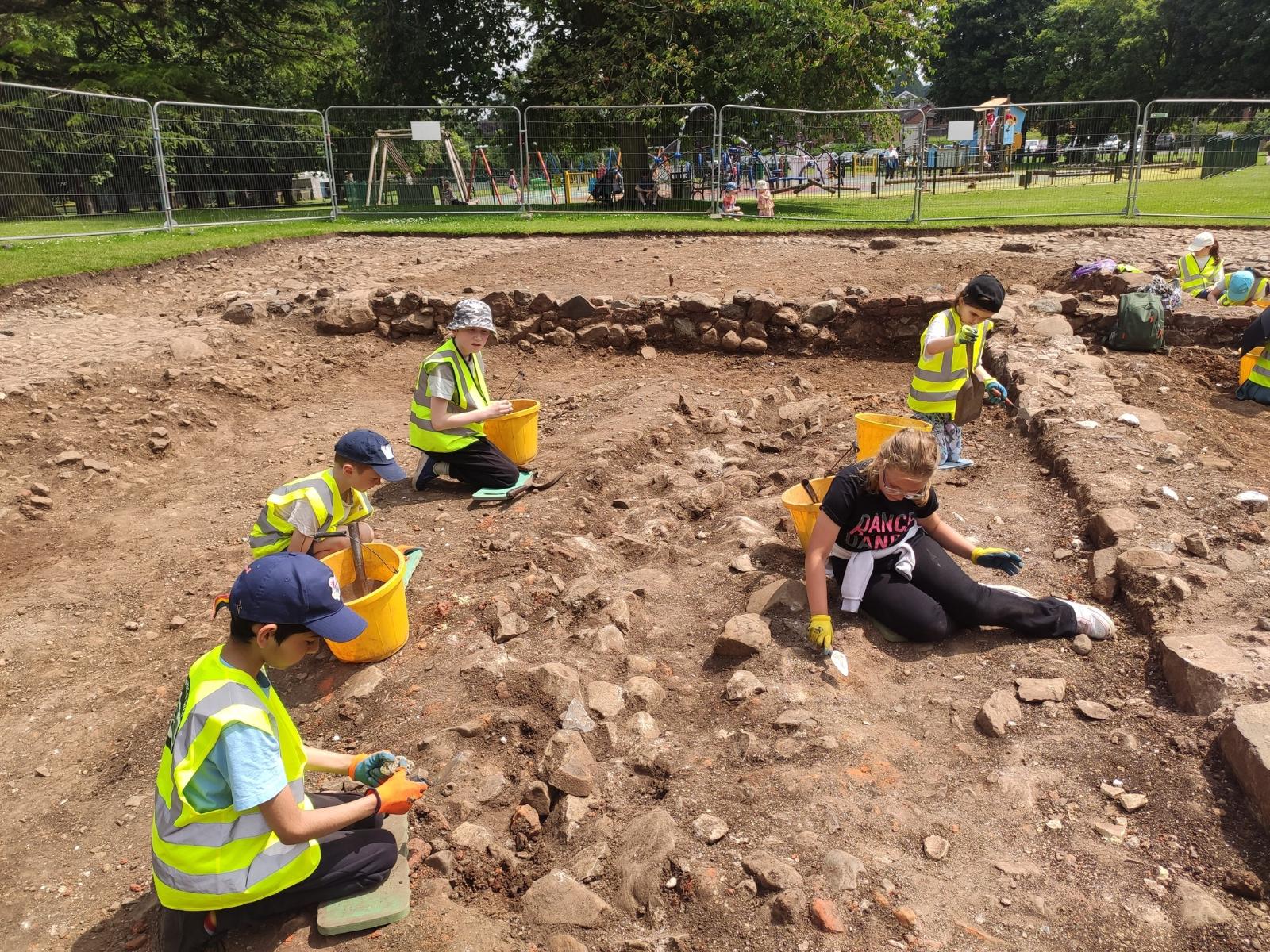
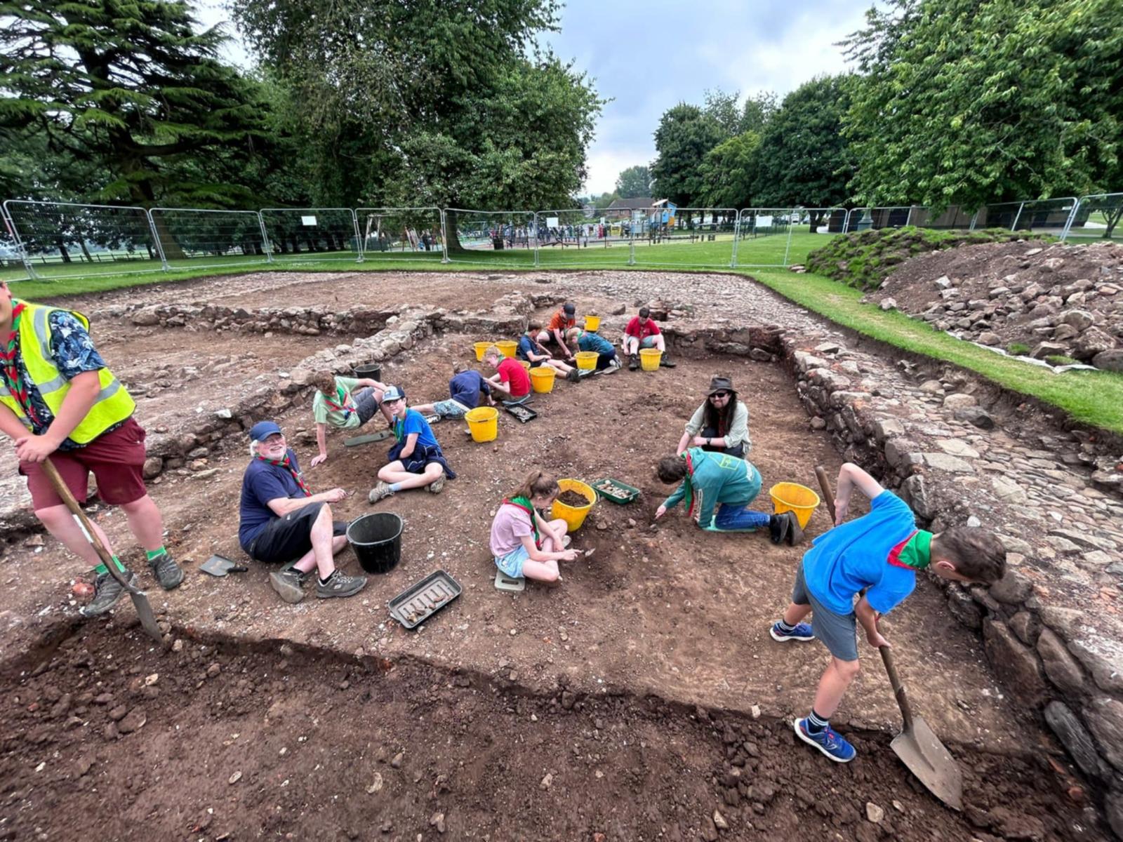
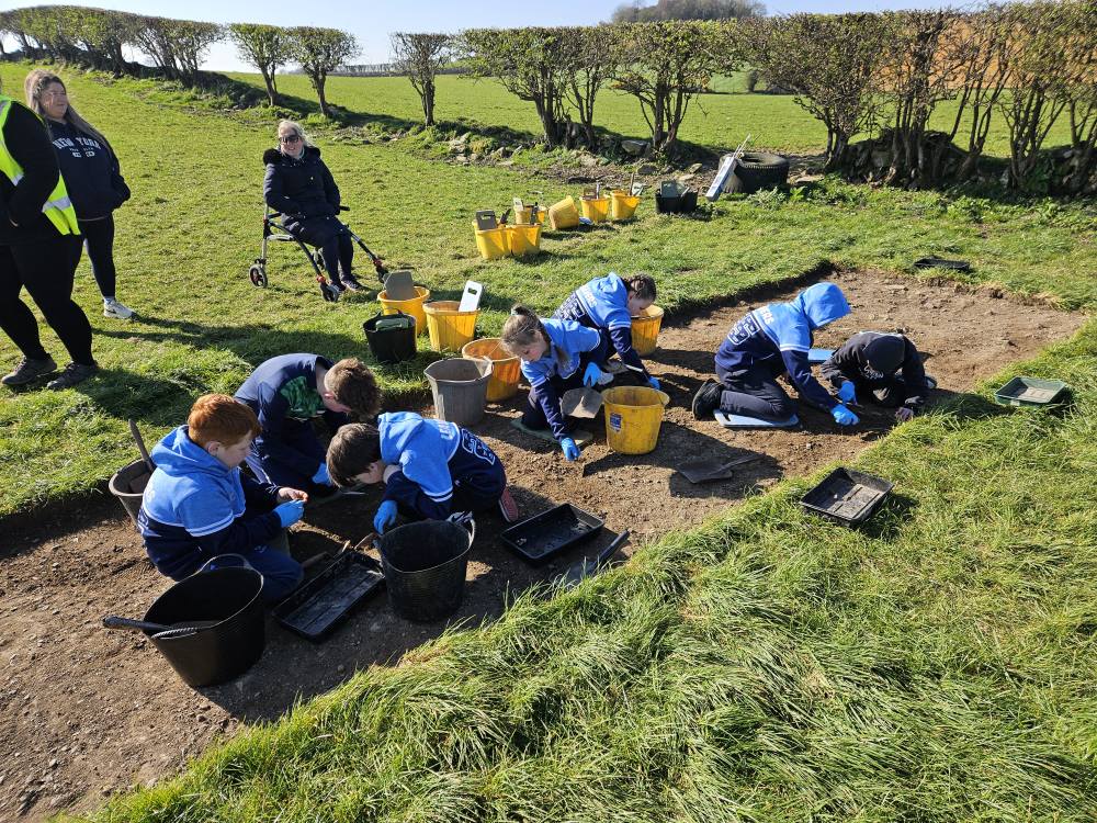
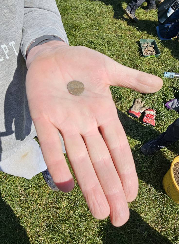
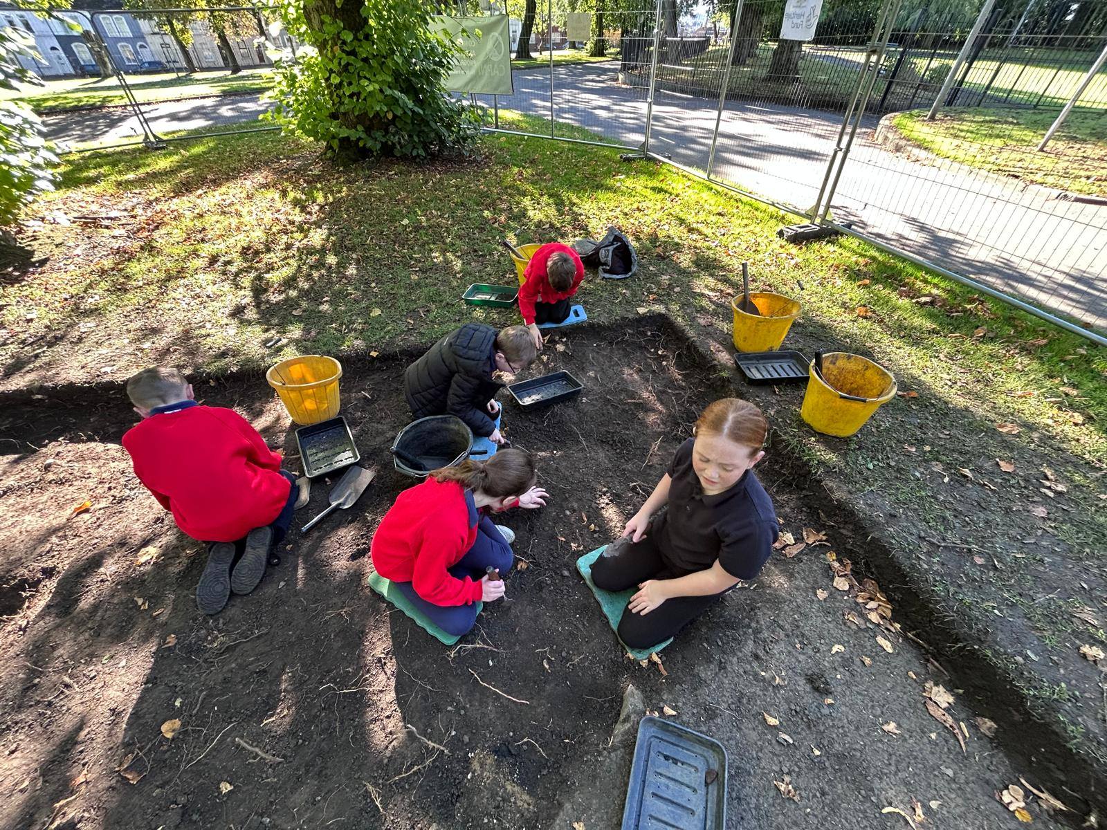
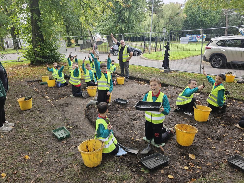
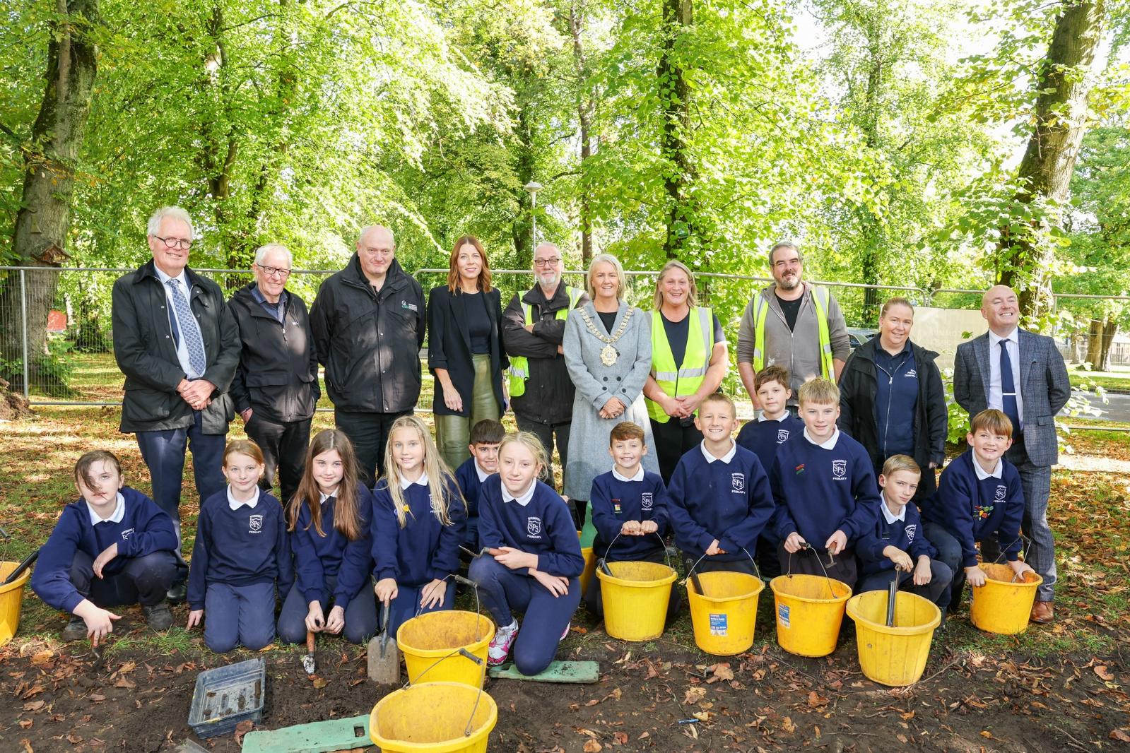
The excavation, involving pupils of local schools, sought to uncover remains of Woodvale House, which was the residence of Reverend Octavius Glover. The land around the house was taken over by Belfast Corporation in 1888 to create what is now Woodvale Park. Evidence was found of the building, along with artefacts from everyday life within the house (glass bottles, a clay figure, a coin); there were also Neolithic flints, taking the occupation of the area back to prehistory.
The proposed area to be investigated is the site of a ‘Fort (NISMR ANT 052:064) shown on the 1st Edition 6’’ Ordnance Survey map of Carrickfergus from circa 1830-46 as being located north-east of the 17th century stone defensive town wall in the Deer Park in what is now Shaftesbury Park. The ‘Fort’ is not illustrated on any other map of Carrickfergus and nothing is known about the nature and date of the monument. It may be the case that this is an Early Medieval ringfort that pre-dates the construction of the Medieval town. Alternatively, it may have been some form of Medieval enclosure, and it has been suggested that this may have been the dwelling enclosure or lios referenced in a 15th-century poem and used by the Clandeboye O’Neills, providing them with access and proximity to Carrickfergus while still basing them outside the town defences (Logue and MacManus 2023, 98). A third possibility is that this was not a fort at all but was some form of Early Modern tree-ring associated with the Deer Park but mistaken by the Ordnance Survey as an antiquity. The project is a unique opportunity to engage the local community and school groups with the archaeology and heritage of the Carrickfergus, one of Ireland’s most historic towns. During the project The CCA archaeologists will be working with Shirin Murphy, Carrickfergus Museum, Mid and East Antrim Borough Council, and the Carrickfergus & District Historical Society.
The focus of this investigation is the site of ‘Con O’Neill’s Castle’ (DOW 009:006), a 16th-century fortification (with later additions) that was located in the Castlereagh Hills. The castle was demolished in the early 19th century but its general location remains known since it was depicted on an estate map dating to 1803 (Figure 2). In 1984 an excavation programme was undertaken by Dr Tom McNeill (QUB) on behalf of Castlereagh Borough Council, with the work focusing on the grounds of the Orange Hall (now nursery school) on Church Road. Unfortunately, the investigation proved fruitless and it would seem that the fieldwork was conducted at an incorrect location. By georectifying the 1803 estate map (Figure 2) onto the modern landscape, it would appear that the site of the castle is actually in the adjacent field to the nursery school. The current project therefore offers the potential for us to resolve a longstanding puzzle, and the rediscovery of the site would undoubtedly attract considerable interest in the local community, thereby raising the profile of the medieval castle and the Clandeboye O'Neills among the population in the east of the city. In addition, however, if it were to be securely located then it would also mean that a much greater degree of protection could be provided for the site.
It is proposed that an archaeological investigation take place at Nailor’s Row, Derry~Londonderry,
Co. Derry. The location of the proposed excavation is a large open grassy area between Double Bastion and Royal Bastion and adjacent to the outside face of the 17th-century stone town defensive wall which is a Scheduled Monument (SMR LDY 014:033). Until the early 1970s a terrace of houses- Nailor’s Row- stood close to and facing the 17th-century town wall in this location. Landscaping that took place after the houses were demolished means that the ground of the current grassy area is uneven. Further away from the town wall the ground slopes down towards Lecky Road. A tarmac public path runs close, but not parallel to the town wall. The area of the excavation is overlooked by the Grand Parade section of the town walls.
The land where the proposed excavation is to take place is owned by Derry City and Strabane District Council and we would like to put on record our thanks for the interest that the Council has taken in the project and the support that it has provided, particularly from their Environment & Regeneration Directorate.
It is proposed that two trenches are excavated during the course of this investigation. The first, Trench 1, will be located to the rear of the Mellon House. This trench will measure 3m x 3m and will be located in the backyard of the upstanding structure. It is hoped that the excavation of this trench will reveal yard surfaces or material culture associated with the occupation of the Mellon House during the Nineteenth Century. Trench 2 will be located approximately 280m to the north-east of Trench 1 (to the rear of the Mellon House) in an area of green-field. This is the location of a series of buildings that are depicted on the nineteenth-century OS maps although omitted from the early twentieth-century revision suggesting it had gone out of use by this stage. Upstanding masonry relating to this structure is still visible although heavily masked by vegetation. The trench will be positioned across the gable end of the structure so that both inside and outside the building can be investigated. Vegetation will be cleared from the upstanding courses of masonry to enable this to be photographed and drawn. Should intact floor surfaces be encountered, these will not be disturbed and will be left in situ. It is proposed that a 5m x 5m trench is opened in this area to assess the preservation of this structure and to recover material culture that can be compared to any recovered from Trench 1.